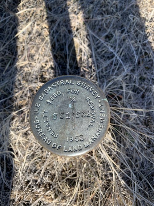
reminds me of this case... Someone has to prove the landowner pulled the surveyors pin. Not going to happen.Yep, all the ones I've seen are stamped on the marker too. That doesn't stop people from taking them though.
The fine for taking them ought to be a hefty one though.
Montana landowner wins road access lawsuit
Judge rules interim order in favor of landowner over use of Fergus County road