

BuzzH
Well-known member
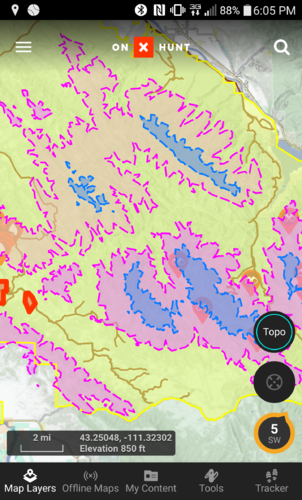
Great tool for those that cant read or understand a topo map...which is going to create some long faces when this tool doesn't correlate to what's actually on the ground.
Experience ground truthing what you think you "see" on maps and 3d images is the ultimate "game changer".
What looks "good" on a topo, aerial photo, or 3d image may be a whole different story on the ground...for all kinds of reasons. I've been reading maps and photos for 40 years, google earth since about the time it was introduced. Still get fooled from time to time, by the reality of what's on the ground when I show up to places in person.
Last edited: