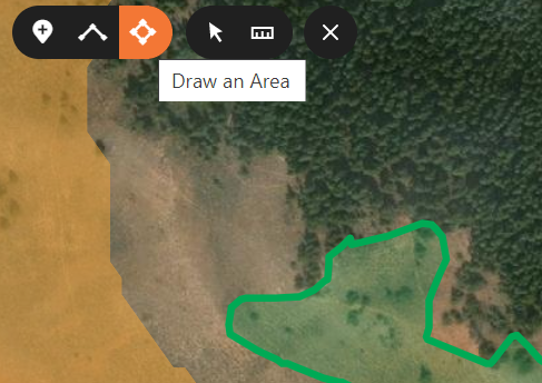
Gohunt has the polygon tool, but it's called "Draw an Area"; you can click for each point of a polygon or just hold the right mouse button down for a smooth and wonky shape like the green shape below:
View attachment 189111
Once drawn, it tells you the area and square miles. In the example above, I circled game traffic.
The sun-shaded issue can be addressed by knowing your east from west. As I spin the 3D map, I loose coordination and click the compass button that returns it to North as up.
The line tool mentioned by BT above is also valuable since it also shows you the distance if you climb down in valleys and over ridges to a certain point. That same line simultaneously displays the 'crow-fly distance' or the distance your bullet will travel.