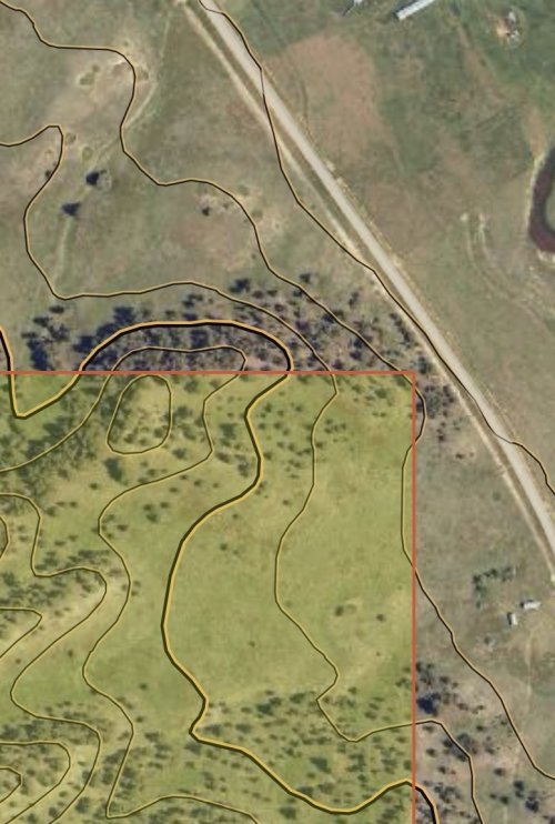
I looked into this spot one time.. That is a portion of the old Milwaukee Road ROW that was originally part of the Jawbone Railway. I went to the courthouse and if I remember correctly it predates statehood, and is deeded land. An equally significant portion of the same ROW parallels Sixteen Mile Creek all the way to the old railroad town of Lombard above Toston Dam. If accessible it would provide astonishing access to Sixteen Mile Creek.
The ROw was sold to private landowners after the Milwaukee Road ceased operations in the mid-70’s. I often imagine how different things would be if the state had been at the table or purchased these lands, but as far as I know it was not and it did not.
Most railroad easements in Montana are perpetual easements that only revert - for practical purposes - never. They are essentially legally unassailable, legal creations from a time when railroads were the absolute kings of commerce. This particular ROW was not an easement but a grant.