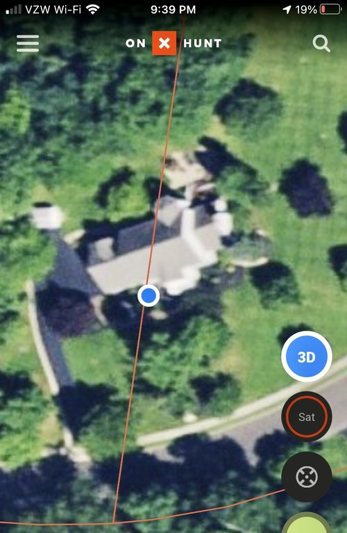
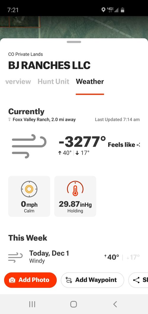
I have seen GIS data vary from the actual verified survey monuments by several hundred yards.
Adding to this "survey" is just a matter of opinion, high refined and supported, but not an absolute.
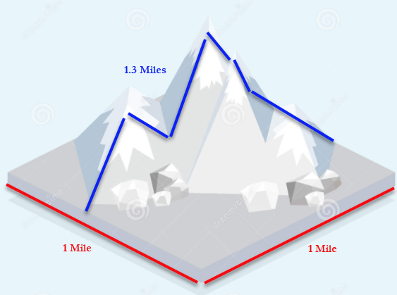
I ran a project in PA; it was huge, basically all of Greene county. County data was crap, our leased acres were wildly off. My theory was that 19th century surveyors didn't take trigonometry into account, essentially a 1 mile by 1 mile flat piece of land is 1sq mile, but if the say there is a mountain in the middle and you calculate surface area based on the hypotenuse of then all of a sudden that same parcel is more than 1sqmile. Could have been projection, or other various types of errors, but everything was egregious off, 100 acres platted and measured 64 acres, and it was virtually every tract.
Needless to say when we took a lease and paid a bonus on 100 acres and then folks got their royalty check, after we formed units and surveyed everything, that royalty was paid on the survey acreage which was 64 acres and let me tell you people were pissed.
We ran a bunch of different survey crews in order to get everything mapped correctly and in a timely manner... and guess what, it's pretty much impossible to get surveys from different companies to match. One companies line was 5-300 ft off another companies line. I ended up providing "hard points" that each company had to tie to... well CAD users

(Yes, you have to use a projection in CAD it's not optional). This isn't a PA issue, I've run into it everywhere Texas, Oklahoma, Colorado, West Virginia... "survey accuracy" doesn't mean anything. In 10 years working with dozens of surveyors I have never had two surveys match point to point, EVER. This only happens when I run a project and request that the entire thing is done in the same database, ie, "Listen I want all the parcel boundaries to match, if they don't you are doing it again for free"
Anyway massive undertaking and we spent a shit load of money. Rural western counties, whose citizens balk at all taxes, you think they will have the man power to do this?
Between datum changes, using changing objects like rivers as reference points, adverse position laws, the vagaries of title, if you have enough money you can make boundaries kinda be were you what them to some extent. Look at the whole crazy mountain debacle.
Bonus fun with maps!
Back east you get lots of deeds with metes and bounds in Perch.
Texas is mostly varas, the exact length of a vara is slightly different depending on who did the survey. Spanish varas are 32.91 inches, Texas varas are 33 1/3 inches, California varas are 33 inches. Seems small, but if your working with 10,000 acre properties.... what's fun is when the property was a Spanish land grant and then was subdivided after the Republic was created. So 10,000 by 10,000 spreads that were original measured in one... then subdivided in other... plus your hard point is a tree, or river, or pile of rocks, or my personal hell, "For the beginning of this tract start at the most western corner of the Johnson tract described in book 504, pg 201, which is also the most South Eastern corner of the the Thomas tract described in book...." then when you pull the Johnson deed, "For the beginning of this tract start at the most Eastern corner of the Williams tract described in...."

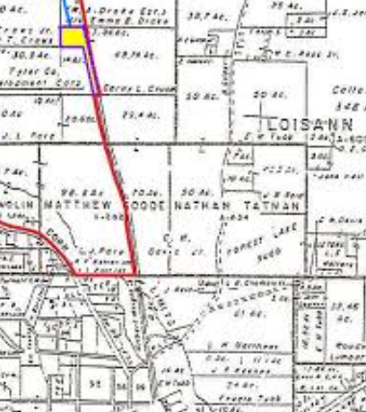
Plat maps/tobin maps/ etc were not projected, essentially they are just really nice scribbles. You can't actually digitize these.
There are other mapping services, but at the end of the day for nation wide, for public use OnX is the gold standard. The
USFWS specifically tells hunters to use them.
And not just out west.

Probably the only better service IMHO, that has nationwide or close to it coverage is WhiteStar.