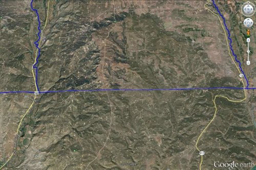
Does anyone know what's with all the roads and clearings around the western half of the boarder of New Mex and Colorado. Say around hwy 550? Seems to be an oil or gas field. I've driven through the area a few times and don't recall every seeing anything.
Viewed from Google Earth
..and below Lat/Long will get you in the vicinity.
LAT - 37° 0.096'N
LONG - 107° 45.203'W

Viewed from Google Earth
..and below Lat/Long will get you in the vicinity.
LAT - 37° 0.096'N
LONG - 107° 45.203'W


