ridgeghost
New member
- Joined
- Nov 4, 2012
- Messages
- 14
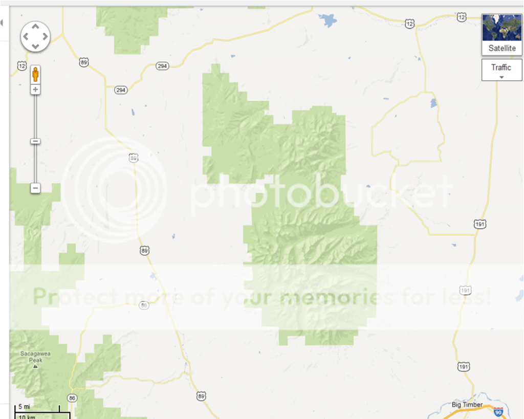
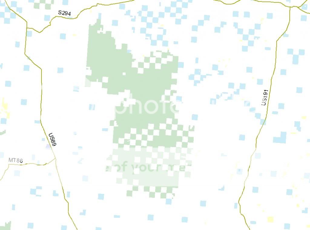
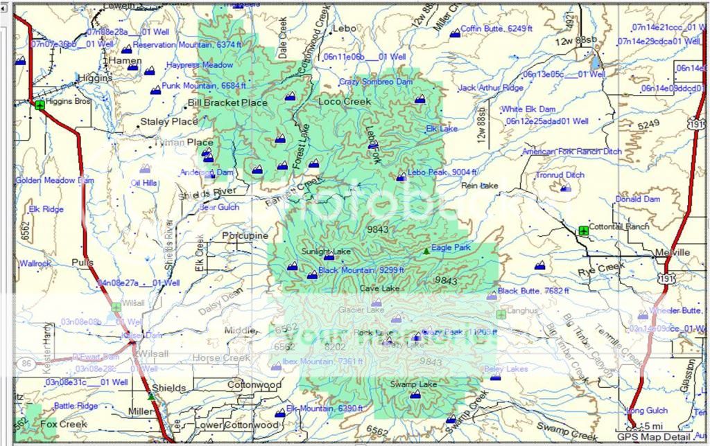
the situation is this! montana requires that all hunters are responsible to know where they are at all times. there are several different ways to know your location. I chose one of many programs on the market today. i made plans before i went. first i went to Google Earth and maps and looked at the area labeled Gallitin National Forest, found a USFS cabin and made plans to hunt that area. I then purchased a Garmin Rhino 130 gps and downloaded a garmin map program. it to said i was hunting Gallitin NF. According to FWP I was on private property.
 and study that GPS while hunting areas with private withholdings.