Came across a gem of a tool while internet researching various trails, reading whatever there is about the various trails of interest, and watching nature hike videos of trails... I came across this internet resource that is a really nice, one stop shop for most trail info. Sure there is always more to research though from a start point, this is pretty sweet. Figure I'd share it here for others who may find some use. Yes, I know - it incorporates the vile mountain cycle along with hiking, etc. Take it for the resource it offers and enjoy what it offers. ") Edit: If you scroll out far enough, it will share blobs with the total trails for each state thus far detailed. No, not all trails... though it is worth checking if one you're interested is available. Even if your more interested to know how heavily the trail is used... whatever floats your boat... pro or con mountain cycles, it's pretty cool info.
Edit: If you scroll out far enough, it will share blobs with the total trails for each state thus far detailed. No, not all trails... though it is worth checking if one you're interested is available. Even if your more interested to know how heavily the trail is used... whatever floats your boat... pro or con mountain cycles, it's pretty cool info.

 www.trailforks.com
I found a random trail to use as an example... Oti Park Trail #732. It give tons of information for the trail AND it will run a virtual 3D route of the trail following elevation adjustments!

Edit added: For Montana residents and non residents planning a trek to MT, another good resource:

 hike.wildmontana.org
Edit: If you scroll out far enough, it will share blobs with the total trails for each state thus far detailed. No, not all trails... though it is worth checking if one you're interested is available. Even if your more interested to know how heavily the trail is used... whatever floats your boat... pro or con mountain cycles, it's pretty cool info.
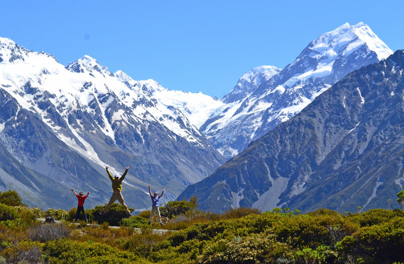
Browse Trails By Map | Trailforks
Browse trail networks from around the world on a map.
I found a random trail to use as an example... Oti Park Trail #732. It give tons of information for the trail AND it will run a virtual 3D route of the trail following elevation adjustments!
Edit added: For Montana residents and non residents planning a trek to MT, another good resource:
Wild Montana - Uniting and mobilizing communities to keep Montana wild
We envision a Montana where people and wildlife flourish because public lands and waters are wild and connected.
hike.wildmontana.org
Last edited: