Nameless, Thanks for starting this thread and sharing the maps that you have made. As someone that enjoys my time on rivers even more than I do hunting in the mountains, this is something that is very important to me.
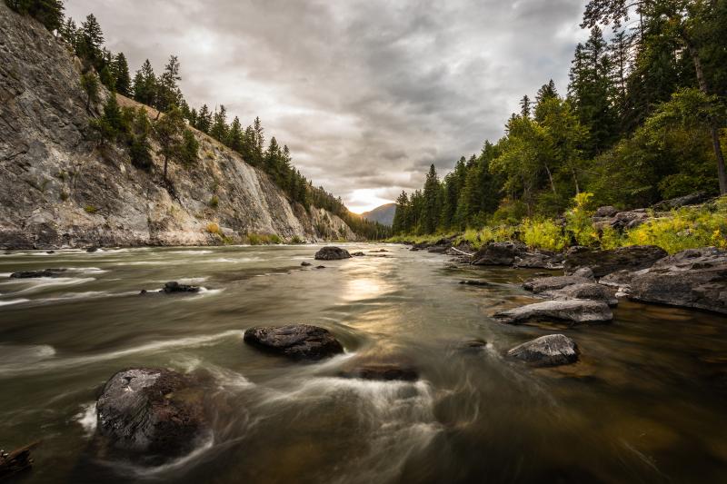
There is a little known river in my part of the world that has an excellent whitewater run and great fishing. One of the more interesting "rapids" on the stretch is a maneuver around a blown out dam. The dam was built in 1924 as part of a mining operation. The dam didn't even make it for one year, when it blew out during high water the following spring. I have had some great days on the water on this river. If this dam hadn't failed, myself and many others would never have the opportunity to experience this incredible river corridor.
This stretch would be underwater if the dam was still functioning.
View attachment 146738
The far side of the dam collapsed due to the anchors in the rock wall breaking free.
View attachment 146737
If you didn't already scout the dam, it would be pretty disconcerting seeing this ahead of you in the river. Some of the concrete below the water level has eroded enough that there is a dangerous sieve created by the remaining rebar. Make every effort to not have swimmers in the water above the dam.
View attachment 146739


")