The above was from my laptop.
I tried the same from my phone, Samsung S20:
This is the result:
#1

#2 Text to myself

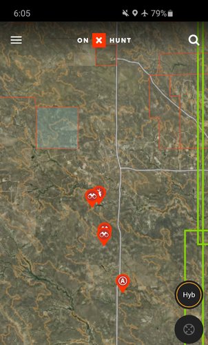
#3 Result:

I tried sending this two additional times with the same results. I then made a completely new waypoint and received the same response. Appreciate your assist @onX Hunt
I tried the same from my phone, Samsung S20:
This is the result:
#1
#2 Text to myself
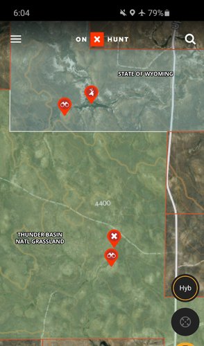
#3 Result:
I tried sending this two additional times with the same results. I then made a completely new waypoint and received the same response. Appreciate your assist @onX Hunt