wingman1
Active member
So far, from what I can tell, no laws have been broken. Correct? mtmuley
There are laws that have been broken in fact several. BLM is turning the cheek.


Follow along with the video below to see how to install our site as a web app on your home screen.
Note: This feature may not be available in some browsers.
So far, from what I can tell, no laws have been broken. Correct? mtmuley
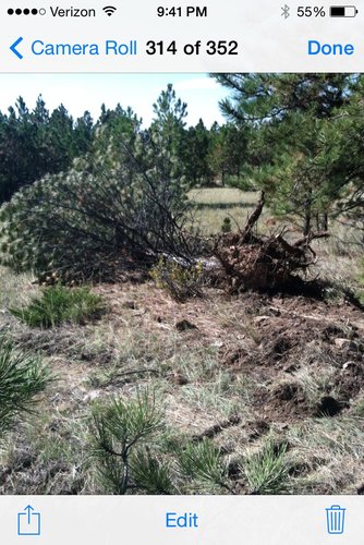
Here is another pic.
That statement means BLM has survey-grade latitude longitude coordinates for (A) one or more points along the new fencing and roads and (B) nearby section corners and quarter corners. BLM absolutely needs both sets of data in order to conclude there is no encroachment.
How many locations did BLM check?
Did they check the spots that are most likely encroachments?
If anyone can obtain that data from BLM, then you could put that data into a file and display it with Gmap4. You could also put that data in a GPX file, load it into your GPS and visit those areas the next time you fly in to any of these BLM parcels that the BLM visited.
If BLM refuses to provide the data in response to a polite request, then you could ask again via a FOIA request. ...
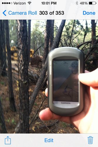
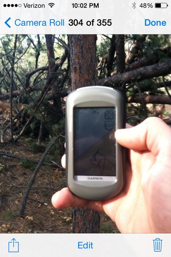
Is PLWA, MWF or ?? going to get this data? They should be updating us on what their plans are. It is pointless to rely on pictures of GPS units using the Cadastral data as their credibility has been eliminated.

The irony is there is a push for more government controlled lands, then when the government responds like this it's a surprise?
Dont you dare act like the federal government isn't the best at managing land.
According to Ben all they need is more money to do a better job.
On an even funnier note I was out on a federal NWR yesterday. They are in desperate need of some conservation work but have no $ because they spent all their money on a brand new HQ building that was not needed. Guess who is stepping in to pay for the entire project including all engineering, design work, etc..... Yep, the state is paying for a fairly large scale conservation project on federal land. Imagine that.