Idaho Fires

Has anyone taken a look at the closure for this fire? It's unreal. Duck Valley to Burneau. Then across Hwy 78 to 95 back to Jordan Valley. The whole SW corner is closed.
That fire has been a nightmare for mule deer. Its burn path has mostly followed the elevation lines that support wintering deer and everything they eat.
 
DFS, the smoke is thick and blue a mile at most visibility right now. Temp are screaming hot 95* and upward. We are now in Stage 1 fire restrictions. No camp fires or smoking out of designated areas or vehicles. Dust is thick from too many people running around. Doesn't look like things are going to change much. Also next few days critical red flag high winds and low RH's.
Really need rain moisture. Mosquito lake is very low and talk about curtailing the irrigation down here in the valley. Since the Motorway is closed from Challis to Pine Creek summit road Challis creek road is a zoo. Salmon river is low and warm fishing is better back towards Stanley.

 
I can't see 5 miles either. I'm somewhere around 1/2 mile or so. It could be worse ... I could live in the valley.
 
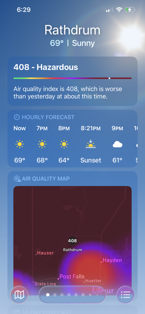
Haven’t seen the mountains for quite a while. The air has been nasty. Got real gross a few days ago. Seems like anything under 200 now feels pretty good. 1786300993750.png
 
Just issued a Go alert for Wickahoney to Duck Valley. Hwy 51.
The current fire activity running towards Duck valley Reservation is 65 miles west to east from where the fire started. Its also 60 miles north to south frome the fire line on flint cr road.
 

Latest posts

Forum statistics

Threads
119,728
Messages
2,236,360
Members
38,992
Latest member
RetiredStumpGrinder
Back
Top