

WyoDoug
Well-known member
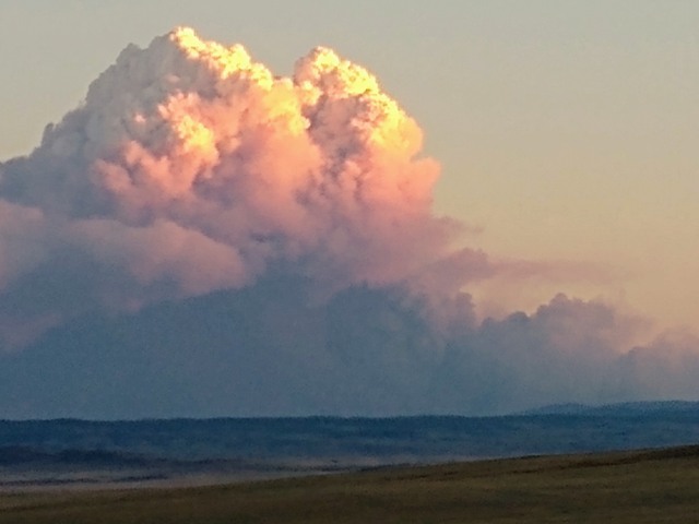
This fire is going to affect at least the southern areas of Wyoming too especially the area from Laramie and westward. Probably hurt Idaho a bit too. This fire will get much worse before it gets better.
 www.reporterherald.com
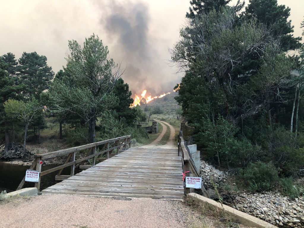
Cameron Peak Fire explodes to 96,462 acres west of Fort Collins
The Cameron Peak Fire exploded to 96,462 acres on Monday, with firefighters facing extreme fire behavior on the north and east fronts of the blaze burning west of Fort Collins. Evacuations increase…