Timberline Trail around Mt Hood

OregonTK

New member
Joined
Oct 21, 2012
Messages
135
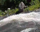
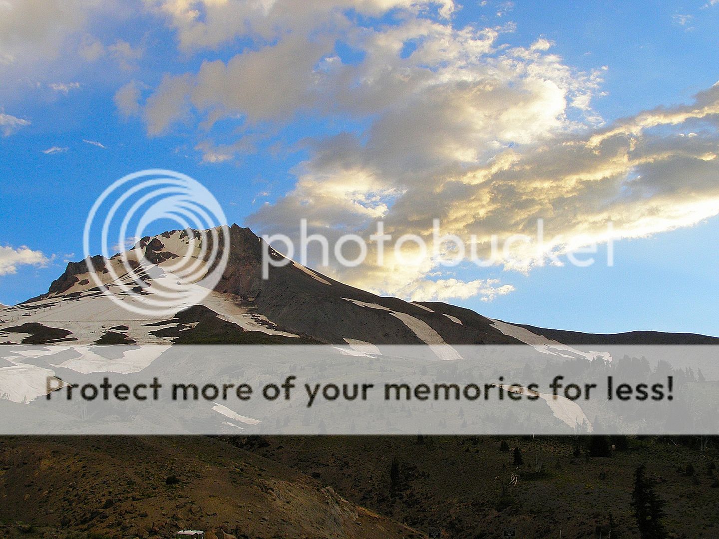
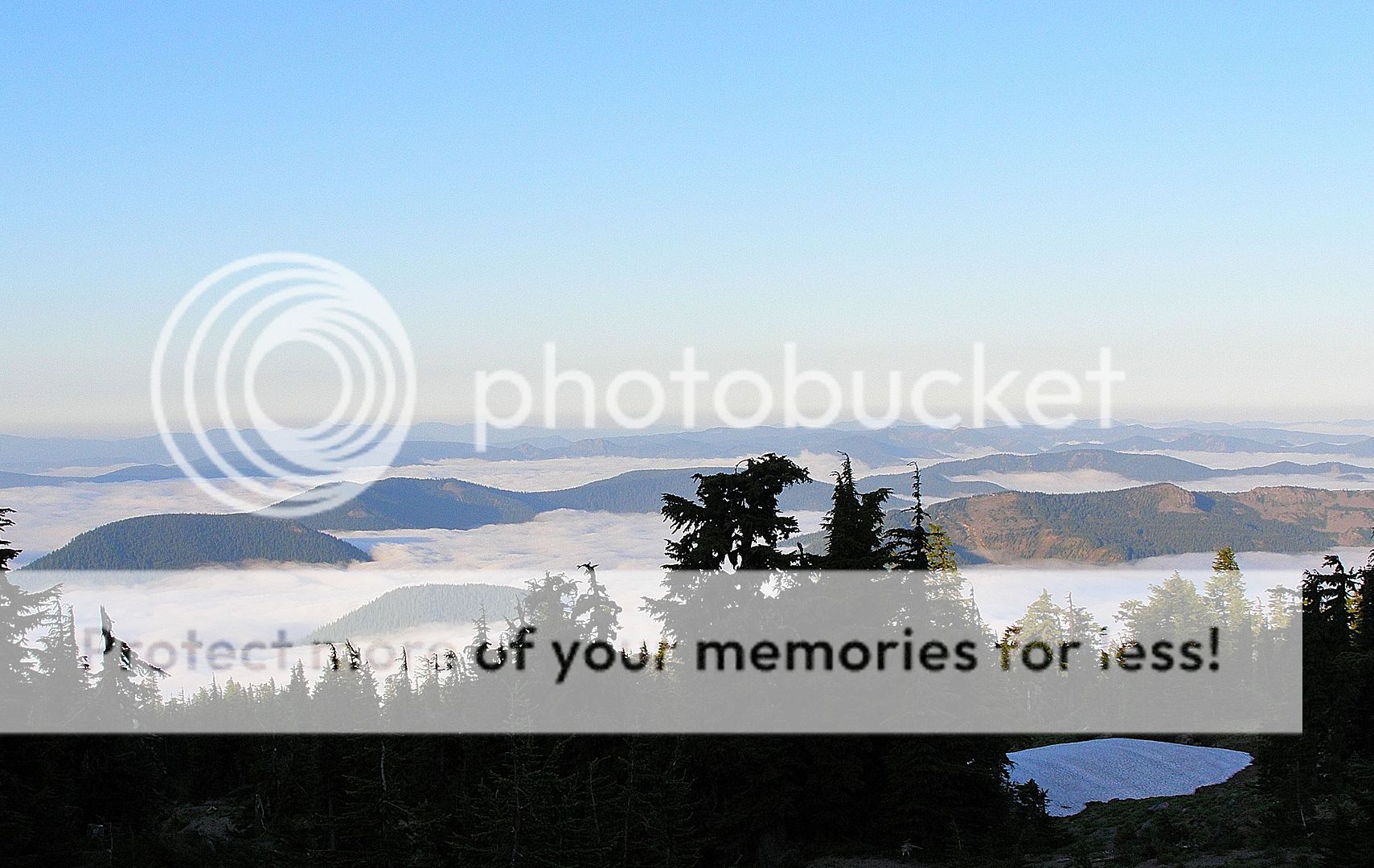
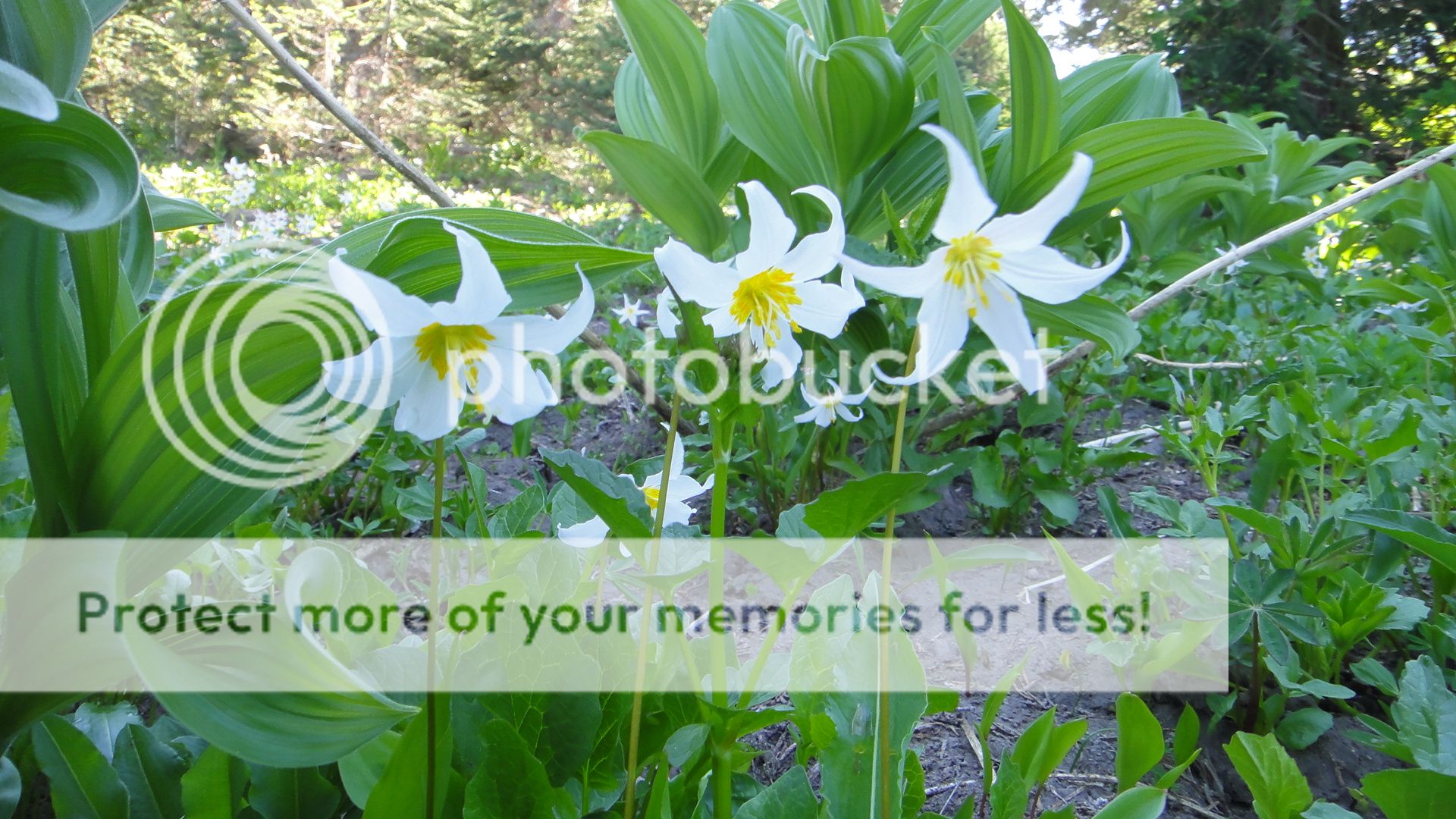
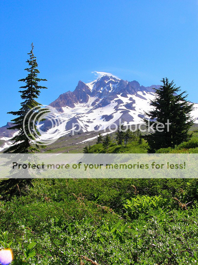
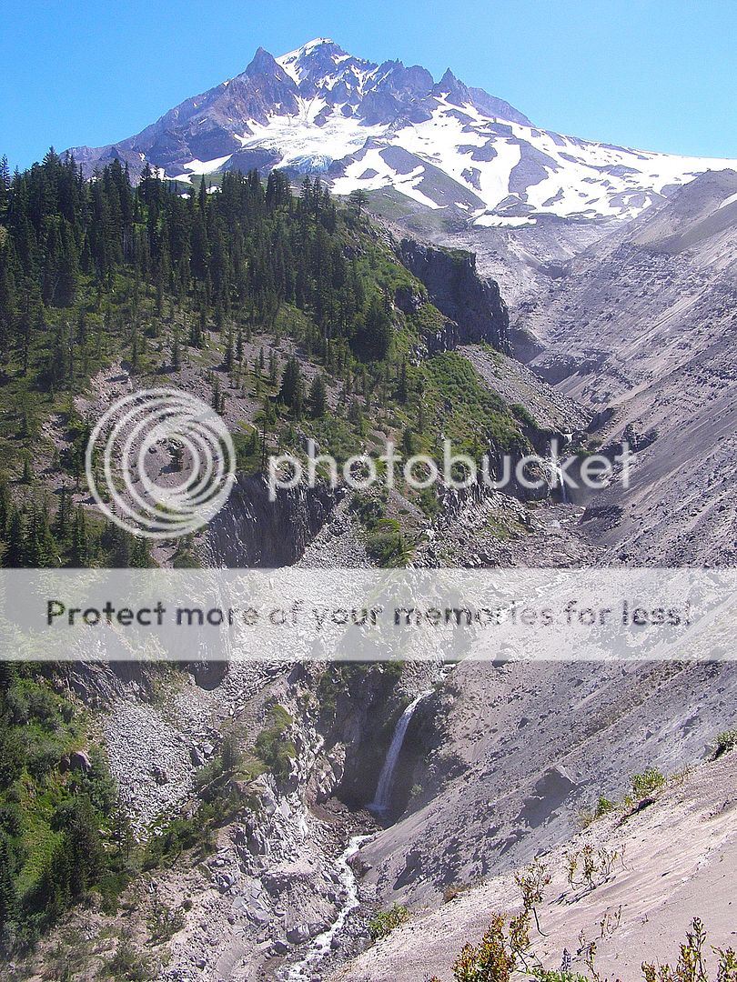
Day 1 My friend Rick, his dog Sienna, and I left Timberline Lodge at 6:30am, heading west. The vista's to the south were splendid with fog filling the mountain valleys and the high meadows filled with wildflowers. We made it to Bald Mountain by 5:30pm...tired, sweaty, but in good spirits.


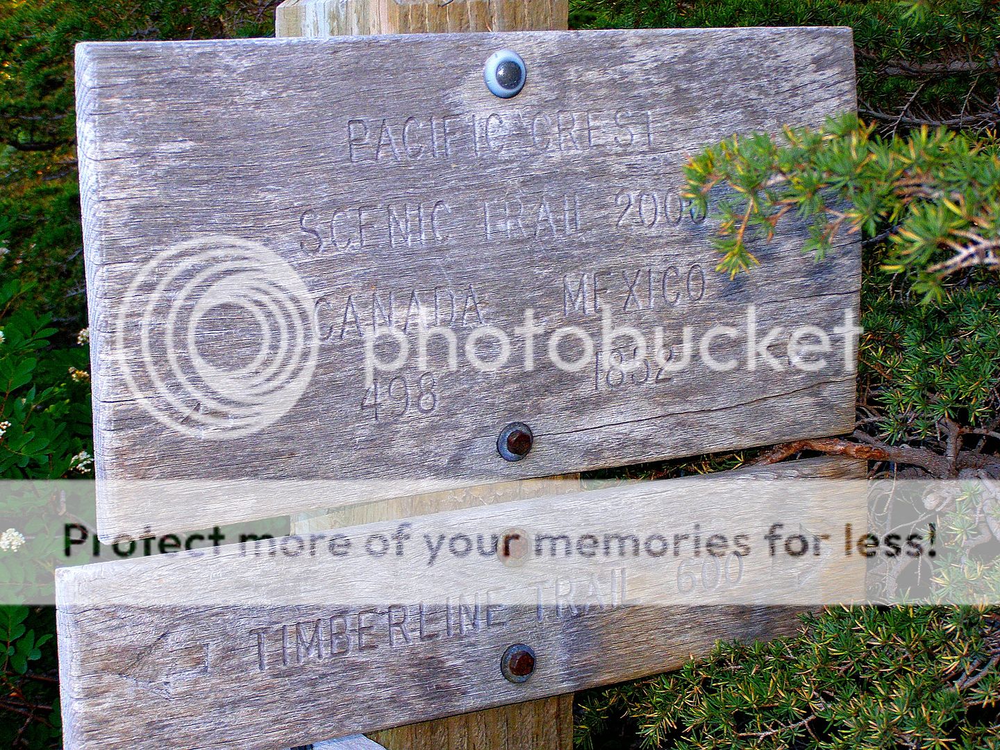
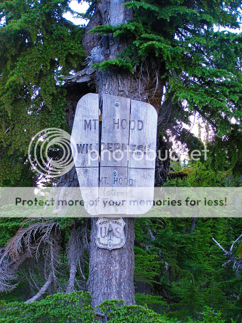
The first section of trail follows the Pacific Crest Trail and some of the old work that went into building the trail are still present.
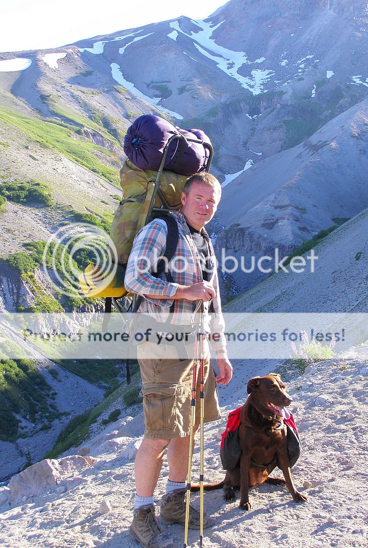
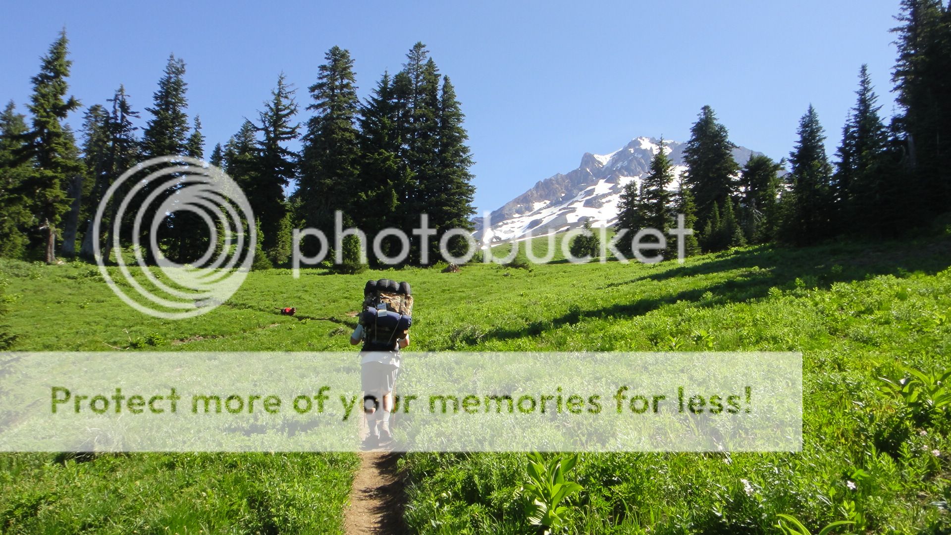


Rick and Sienna


Day 2 Our plan for day 2 was to go around the north side of the mountain and make camp near Cloud Cap Inn. After finishing Day 1 with a long uphill grade, Day 2 began with a steady uphill climb. But with lots of small meadows filled with wildflowers and views of the Washington volcanoes, the hiking was pleasant.


The first view of the Dollar Lake fire from a couple years ago.


There's old stone shelters scattered all the way around the mountain. The shelter at Cairn Basin was still in great shape.


The trail is in really bad shape, and it's only going to get worse as snags from the fire begin to fall in the years to come.


We made it to the edge of Eliot Creek by 6pm and had a decision to make, cross over to Cloud Cap or make camp and cross in the morning. Normally is wouldn't have been any big deal, but the Eliot Glacier blew out the canyon and washed the trail away in 2006. So crossing is at your own risk and not as easy as it once was. We decided to cross and get it over with.


Somebody placed a rope on the west side of the canyon to assist going up and down the steep, loose hillside.

 
Day 2

Once at the bottom you have to crawl through the boulder field toward the glacier and find a place to cross the swollen waters of Eliot Creek. No easy task in itself!


After nearly 2 hours we stumbled into Cloud Cap and made camp for the night. Tired and sweaty, but glad to have the Eliot crossing behind us and looking forward to the last leg of the trip.

 
Day 3 We began the final day by climbing for 3 hours straight which brought us to the highest point in the trail...over 7300'.


The view was great, but it was a hot day and we were exposed to the sun most the day! Being on rock and hot sand began to take a toll on all of us, especially the dog. Every small stream and snow patch brought a major rest stop.


After the uphill grade we found ourselves high on Gnarl Ridge and the trail took a 2 mile downhill plunge.


Not much left of the Gnarl Ridge shelter...


The trail eventually dumped us into the Clark and Newton Creek canyons and by this time we were dragging butt!


But the small cold streams were an ever present respite for both man and beast!


We made it into Mt Hood Meadows and had to cut out loop a few miles short of our destiny of Timberline Lodge. But we plan on going back up in a week or so and day hiking from Meadows across White River to Timberline and completing the loop.

Thanks go out to Rick for going with me and keeping me going, was nice to have the company! My wife wasn't real enthusiastic about me doing this by myself!

Hope you folks enjoy the pics from both out cameras.
 
Glad you guys enjoyed the pics. I had a P&S digital hanging off my left shoulder strap when we started and noticed my neck and shoulder getting sore and aching...finally put the camera in my pack and the pain went away. So the last day and a half I didn't get nearly as many photos as I wanted....but thankfully Rick had a small camera in his pocket and picked up the slack.

This is kind of a neat little video clip of Coe Creek. If you look close you can see golf ball size rocks bouncing and tumbling downstream. We were quite aways below the glacier, but the power of water is truly amazing.


Similar threads

Gastro Gnome - Eat Better Wherever

Latest posts

Forum statistics

Threads
111,190
Messages
1,950,543
Members
35,071
Latest member
KJ1225
Back
Top