Paul in Idaho
Well-known member
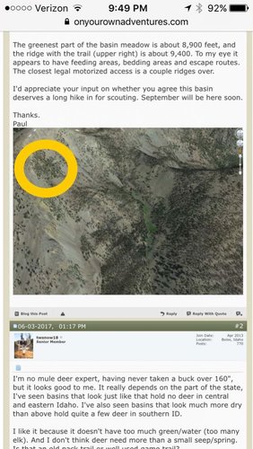
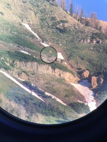
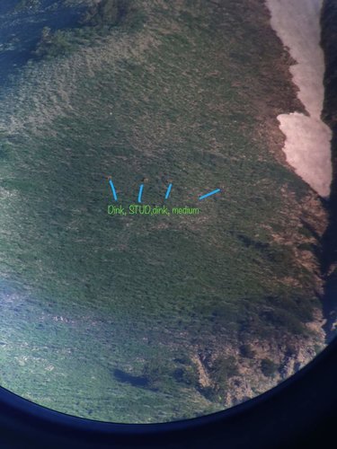
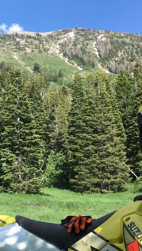
For the past couple years, I have been looking at maps and Google Earth, along with hiking, to find a new place to focus on for mule deer. This is a basin I keep going back to look at on Google Earth. I haven't hiked into it yet, but plan to do so this summer.
The greenest part of the basin meadow is about 8,900 feet, and the ridge with the trail (upper right) is about 9,400. To my eye it appears to have feeding areas, bedding areas and escape routes. The closest legal motorized access is a couple ridges over.
I'd appreciate your input on whether you agree this basin deserves a long hike in for scouting. September will be here soon.
Thanks.
Paul