goHUNT EXPLORER Map Membership offer to Hunt Talkers

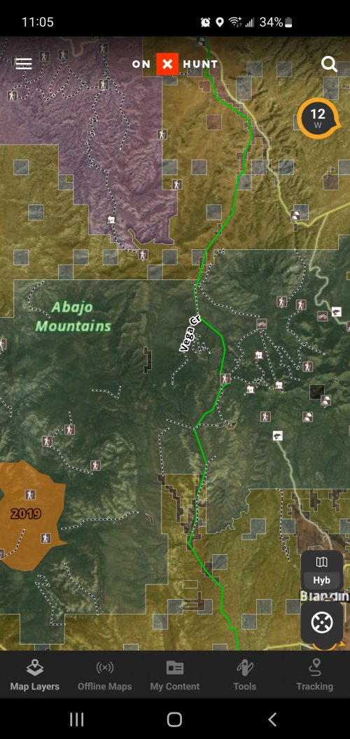
hey dave,,i have on x and also a full go hunt insider sub ,,between the 2 the imagery on on x seems to be clearer,,but the biggest issue i have as well as thousands of other folks is knowing about road easements thru private,,many states,especially colorado and wyoming are real sticklers about keeping there public land landlocked,,mapping easements thru private would be a HUGE deal,,anyway that could be added would be incredible.
 
Hey Dave I have both OnX and a Gohunt insider membership. I've been trying to use Gohunt maps for my turkey hunting this spring in hopes of going full Gohunt when my OnX membership expires in the fall. But I recently have switched all my computing from PC to Mac and I am finding GoHunt maps basically unusable on my Mac laptop, specifically when using the apple mouse. It works ok with my track pad but that's inconvenient do to the size. The zoom function is very jumpy, inconsistent, and constantly rebounds in and out using the mouse. Also you can't click and drag the map without it constantly zooming in and out as you drag. Is anyone else having this problem? I know it is not my mouse because it works great with OnX, but also it works great with the Gohunt draw results map that shows the units on filtering 2.0. Hoping ya'll can come up with a solution so I can get down to one membership. Thanks.
 
Any idea when gohunt will have maps for all states? I hunt other state besides what is offered and will need to stay with onX until then.
 
@Dave@gohunt just hoping for a response to my issue from a couple comments ago. I also left Feedback through the maps website about the problem like 3 or 4 weeks ago and got no response either.
 
Hey Dave I have both OnX and a Gohunt insider membership. I've been trying to use Gohunt maps for my turkey hunting this spring in hopes of going full Gohunt when my OnX membership expires in the fall. But I recently have switched all my computing from PC to Mac and I am finding GoHunt maps basically unusable on my Mac laptop, specifically when using the apple mouse. It works ok with my track pad but that's inconvenient do to the size. The zoom function is very jumpy, inconsistent, and constantly rebounds in and out using the mouse. Also you can't click and drag the map without it constantly zooming in and out as you drag. Is anyone else having this problem? I know it is not my mouse because it works great with OnX, but also it works great with the Gohunt draw results map that shows the units on filtering 2.0. Hoping ya'll can come up with a solution so I can get down to one membership. Thanks.
Hey Quibo, apologies for the late response!

The Magic Mouse from apple is inherently jumpy and I too have noticed the jumpy-ness with them. After running our maps for this long exclusively on Apple I can say I have zero issues with the apple mouse now, may have been just me getting used to them? There may be some adjustment options on our end for sensitivity, I will check in with the team on this, though.
Ok thanks. I appreciate the response. I’m sure you’re a busy guy. Like I said it’s odd that I have no issue with OnX or GoHunt’s filtering 2.0 map, just the explorer map. But I will also see if I can make some adjustments to my mouse to improve it too. I am fairly new to anything Apple besides my phone. Would using the app on my MacBook possibly be better than using the website?
 
Ok thanks. I appreciate the response. I’m sure you’re a busy guy. Like I said it’s odd that I have no issue with OnX or GoHunt’s filtering 2.0 map, just the explorer map. But I will also see if I can make some adjustments to my mouse to improve it too. I am fairly new to anything Apple besides my phone. Would using the app on my MacBook possibly be better than using the website?
The app is only optimized for mobile at this time, so I would suggest sticking to a browser while on your Mac. Thank you!
 
is there a way to filter easement roads?? finding a way thru private and determining if it is a actual public easement road would really be a big deal,,wyom,colo,utah,mont,and n m would be HUGE benefit.
 
is there a way to filter easement roads?? finding a way thru private and determining if it is a actual public easement road would really be a big deal,,wyom,colo,utah,mont,and n m would be HUGE benefit.
Dan,
There is not at this time. As much as we'd love it, I know that data, when available, is very hard to come by. I will bring this up with the team as another talking point again so it is top of mind, though. This would be a huge win, Thank you!
 
Dan,
There is not at this time. As much as we'd love it, I know that data, when available, is very hard to come by. I will bring this up with the team as another talking point again so it is top of mind, though. This would be a huge win, Thank you!
Huntin Fool started the western big game research phenomenon. OnX revolutionized western big game mapping. Top Rut nailed draw odds. What NEW breakthrough for hunters has GOHUNT introduced that has not already been done by someone else?
 
Huntin Fool started the western big game research phenomenon. OnX revolutionized western big game mapping. Top Rut nailed draw odds. What NEW breakthrough for hunters has GOHUNT introduced that has not already been done by someone else?
Poormanslam,
I would say we were the first to combine all three under one roof. We didn't start the big game research phenomenon but I would say that we definitely revolutionized it and are pioneering it now. Top Rut provides great odds information, I'm a fan of their work! The mapping landscape has been competitive for years so were are definitely showing up for a fight. We didn't pioneer or revolutionize this end of the spectrum, but we are learning quickly, adapting, and starting to build some intuitive tools just for hunters, like the terrain analysis tool.

I wouldn't say that we've come up with anything "new" per say, but we have changed the game on how hunting research is done and have definitely pushed the envelope for ourselves and others in the market. Always open to questions, thank you!
 
One thing I like very much about onX is the ability to touch a spot on the map and it’ll tell me WIA, BLM, Forest, WMA, etc. is go hunt gonna update that?
 
Hey CKing,
Yes, touch features are coming to the map! Good question, thank you!
Agreed on this feature. One thing I really appreciate with onx is the ability to quickly see the acreage amounts of a contiguous selected property. A few other things that I'd like to see:

- hyperlinks to related websites for a selected property (i.e. links to the nfs website for a selected national forest). I really appreciate the ability to quickly see current weather for a selected property with hyperlinks to weather forecast for the area. With your unit profiles, I think it would be awesome to have quick hyperlinks to the unit profile for the unit a selected property is located in.

- prominent range names displayed on the map (i.e. Abajo Mountains)

- either a layer or a full time display of campgrounds and trailheads. This is a feature I utilize a lot on onx. I've attached a screenshot with examples of the type of points I'm referencing.

-Topo lines that are a little more detailed than every 200 ft. Onx uses 40 ft lines when fully zoomed in and I find that is really useful when drilling down on a specific hiking route to take.

I haven't been able to fully convert just yet due to the usefulness of some of these types of features but you guys are getting closer and closer with every update. Keep up the good work!
 

Attachments

  • Screenshot_20220516-230511_onX Hunt.jpg
    Screenshot_20220516-230511_onX Hunt.jpg
    1.7 MB · Views: 8
Agreed on this feature. One thing I really appreciate with onx is the ability to quickly see the acreage amounts of a contiguous selected property. A few other things that I'd like to see:

- hyperlinks to related websites for a selected property (i.e. links to the nfs website for a selected national forest). I really appreciate the ability to quickly see current weather for a selected property with hyperlinks to weather forecast for the area. With your unit profiles, I think it would be awesome to have quick hyperlinks to the unit profile for the unit a selected property is located in.

- prominent range names displayed on the map (i.e. Abajo Mountains)

- either a layer or a full time display of campgrounds and trailheads. This is a feature I utilize a lot on onx. I've attached a screenshot with examples of the type of points I'm referencing.

-Topo lines that are a little more detailed than every 200 ft. Onx uses 40 ft lines when fully zoomed in and I find that is really useful when drilling down on a specific hiking route to take.

I haven't been able to fully convert just yet due to the usefulness of some of these types of features but you guys are getting closer and closer with every update. Keep up the good work!
Goodhunt,
Great feedback! I love these, and we do have a few that are being worked on. We have a new reference layer coming available shortly that shows campgrounds, lookouts, etc... and a new topo that will be live on Mobile soon that I think you'll really like, this is currently live on Web though.


Again, thank you for taking to time to type out your thoughts, we love this type of feedback!
 
This will be awesome once you get all 50 states available! I currently use OnX for mapping and GoHunt for the filtering/draw odds stuff. Looking forward to just going with a single subscription.

Like I said I haven't use GoHunts mapping yet, but one thing I'd like to see that is not available on OnX (that I am aware of), is the ability to have certain types of way points the same color as a default (based on user preference). I spend way too much time going thru my points trying to make all my turkey scouting points vs deer scouting points different colors so I can easily find what I'm looking for (because I'm not very good at thinking about that right from the start)! Also possibly something based on age of waypoint (2020 waypoints one color, 2021 another), or ability to turn on/off based on these same parameters.

Wishful thinking probably, but just throwing it out there!
Shumhow,

The 50 states actually just went live!

Great feedback on a default waypoint setting, I will pass this along to the team for sure! With our Hunt Collection feature, you could easily create your own collections for waypoints based on year. From there, you can use our selection tool to bulk edit waypoints based on color and icons. This would allow you to sort by age, with a few small manual adjustments and some forethought on the organization.

Thank you!
 
Shumhow,

The 50 states actually just went live!

Great feedback on a default waypoint setting, I will pass this along to the team for sure! With our Hunt Collection feature, you could easily create your own collections for waypoints based on year. From there, you can use our selection tool to bulk edit waypoints based on color and icons. This would allow you to sort by age, with a few small manual adjustments and some forethought on the organization.

Thank you
That sounds awesome Dave, thanks for the reply. I'll have to start playing around with it.
 
Great question! Yes, you can easily export all of your data from other mapping platforms and easily import them into ours. Specific waypoint icons will not transfer but all of the associated data will.

Thank you!
I just did mine and it worked seamlessly, but unless you have some notes associated with your waypoints, there is no way to know what it was for (unless you have a dam good memory). As Dave mentioned the icons will not translate. I will probably delete them all and just bring in the ones with the notes.

Any possibility of being able to select certain waypoints from OnX (say all buck rub icons) and have them all import into Explorer with an icon of your choosing instead of the default GoHunt icon?
 

Latest posts

Forum statistics

Threads
110,805
Messages
1,935,064
Members
34,883
Latest member
clamwc
Back
Top