I have changed my thinking on the trail relocation thanks to this discussion. As others have said this is not really about access to public land. It is about easier access to public land.
Traffic in the Sheilds drainage of the Crazies has increased drastically in the last few years and I would expect that use to continue to increase with the population growth of the area within an hours drive.
This trail relocation will turn wild land in to not so wild land, and an area that was accessible but lightly used, will be heavily used. Possibly by motorized travel.
The elk hunting in the area is now available to anyone with the fortitude to take on the challenge. If the relocation takes place the hunting will presumably go the route of many other areas like it where the landowner harbors the game, and the public stands on the mountain that is almost void of game and watches him sell the bulls on the lower country hoping something will come their way.
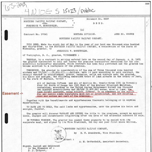
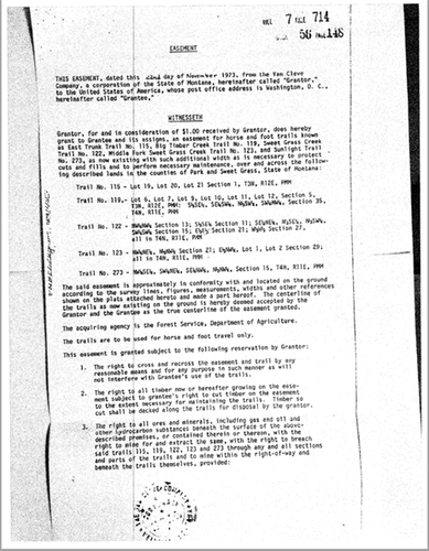
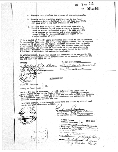
The info that Kat has provided sure makes it look like the land owner isn't holding much of a hand.
I say go for the original trail and if it takes many years then so be it. At least we wont have spoiled wild land in favor of easy access for the masses.
It is really cool that we appreciate wild areas these days. Such talk was heresy not too long ago.
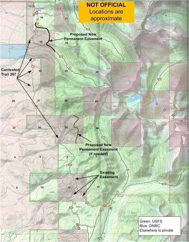
However, we already have "for free" everything I think you want. Take a look at this new map I made. The landowner says he will give us a permanent easement (black line) to Trail 195, in exchange for moving (or abandoning) trail 267. If needed, we also can get a permanent easement across the east side of section 35. For elk hunters, I don't think we need or want to go any farther. It is other people we have to consider.
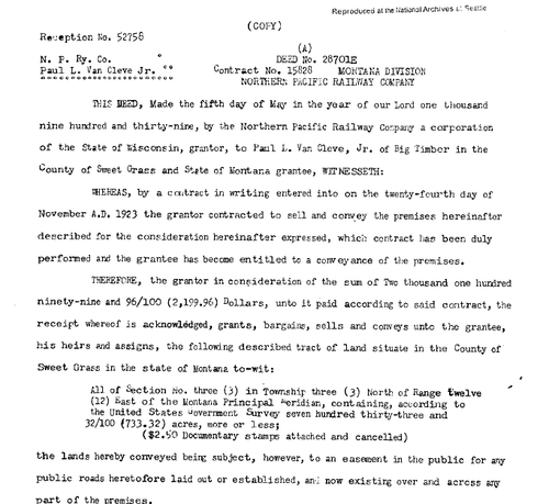
Litigating to open the original trail 267
won't give us an inch more of public access. What it will give us is a path across about 6 miles across private land from the top of Section 15 to Section 2. Pessimistically phrased, the only thing litigation will do for access is to give us a 6 mile route to section 2 instead of the uncontested 3 mile route from the south.
Here's where it gets messed up. Mountain bikers, motorized crowd, possibly horseback riders (and presumably Kat and Brad)
do see value in that path.
I do not discount their point of view. There is value in a point-to-point ride from Porcupine to Ibex and the lowland scenery is unique. Not for me, but to some members of the public.
In addition, Trail 267 itself has bargaining value. If we are going to give up that trail, we should get SOMETHING in return. One option is re-route the trail across Sections 23, 26, and 35 to give the riders point-to-point access so the public gets a benefit.
Maybe there is a better option or we should punt and use the trail money to go buy access elsewhere. I dunno. I just want a path to get us to what we have "for free" on the map below. It is ironic that the best solution for people like me is to just accept the trail 195 easement and throw the mountain bikers et al under the bus regarding 267, but I do genuinely want a solution that benefits a wider audience.
So that is it - basically the only thing litigation will gain us over what we have
for free is that 6 miles across private land. On the other hand, the cost will be substantial and it is never a guarantee that we would win.
Kat is an amazing researcher, and I am not ruling out litigation, but until I see an attorney like Geddes or equivalent promoting this it is just talk. I'm not even sure we can rally enough public support to sue for six miles of trail across private. These things are expensive. There are a lot more high value targets out there I'd rather designate my PLWA contributions for.
I truly appreciate the feedback.