RobG
Well-known member
No animals were hurt during this hike, but some might find it interesting anyway  .
.
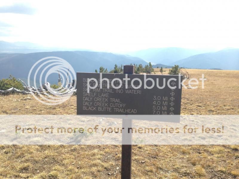
I finally got some free time this summer so Friday I did a day hike up the Sky Rim Trail to Big Horn Mountain. The Sky Rim Trail borders the NW corner of Yellowstone Park. The normal way to access is from the Park side along the Gallatin River, but I chose to come in from Tom Miner Basin.
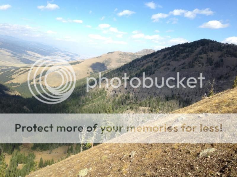
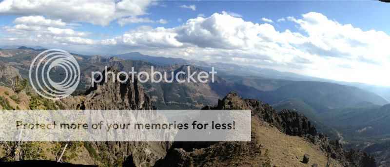
The trail looks easy on a map but it wasn’t easy! It followed the ridgeline so it was up and down the whole way and the September sun was brutal even at 9600’. I had been hiking three hours when I turned around and took this photo. I started toward the bottom of the rocky ridge that angles off to the right.
Those familiar with the area might recognize Ramshorn Peak in the background and Specimen Ridge(Tom Miner basin) is the one that angles to the right going away.
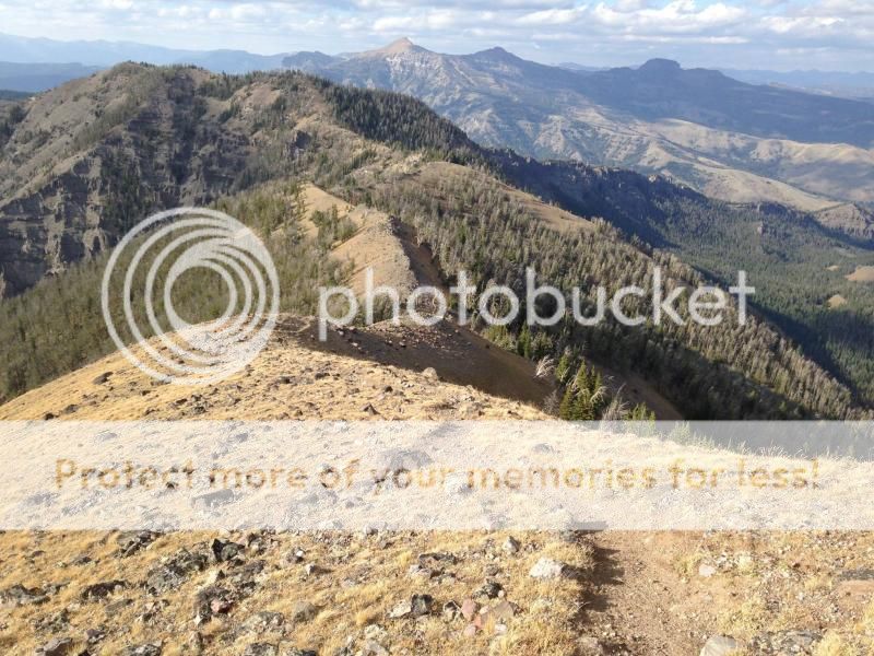
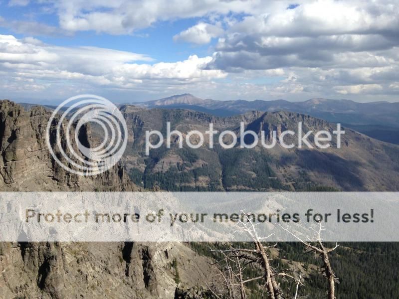
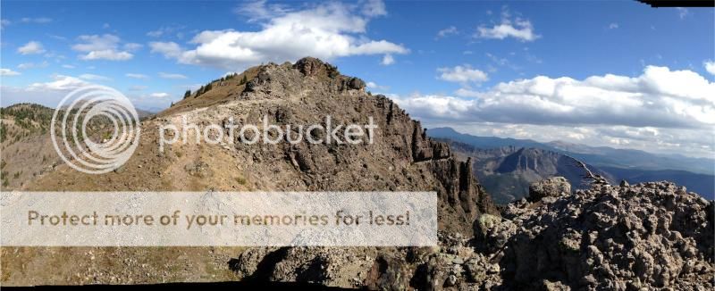
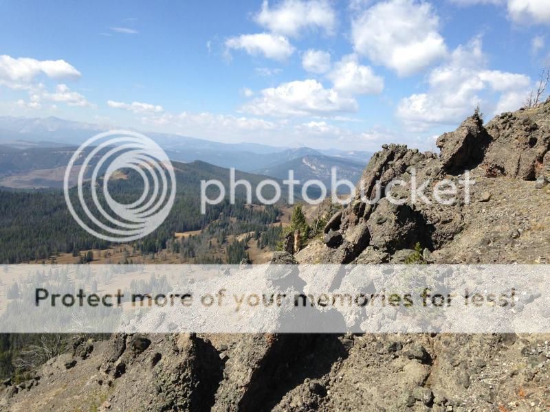
Looking the the direction I was headed (South) I could finally see the rocky flanks of Big Horn Peak. Unfortunately, it was still about an hour away. But at least I could see it.

There was more downhill to be had before I would get there. An optimist would say it was downhill both ways.
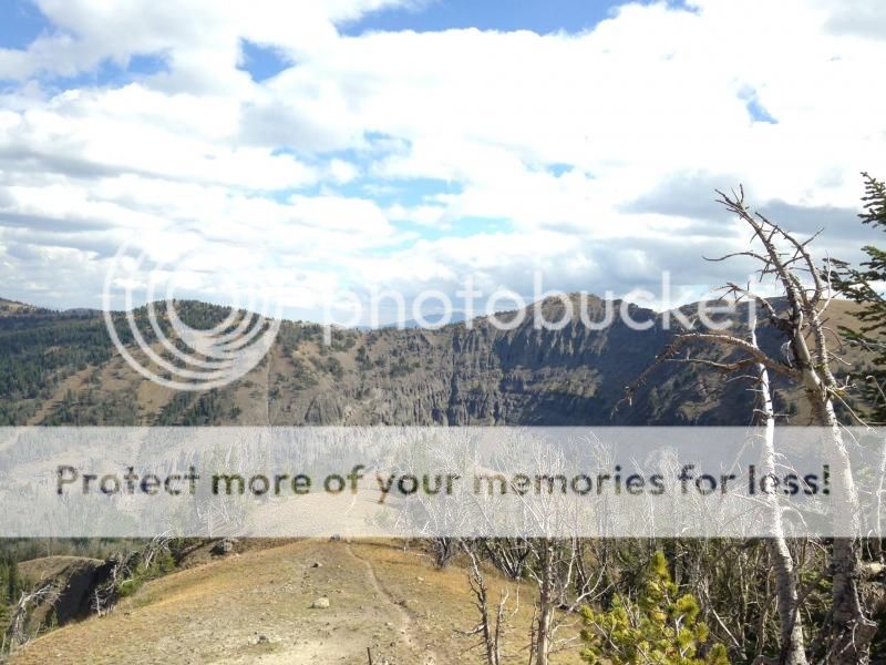
But following the little spurs on the trail yielded interesting sights.

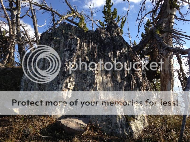
Trees buried 50 million years ago by tremendous mudslides coming from the flanks of volcanoes in what is now called the Gallatin Petrified Forest.
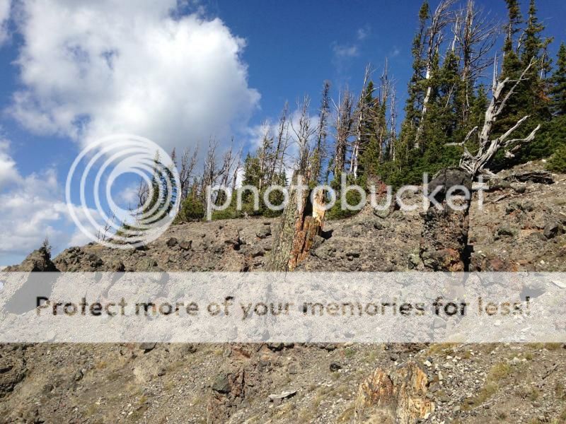
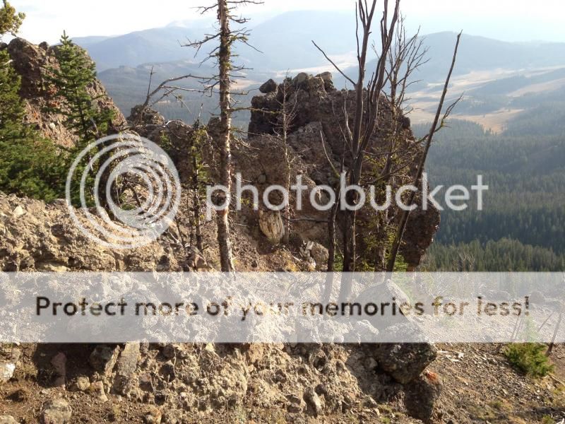
Another tree: look for the tall orangish stump in the center.
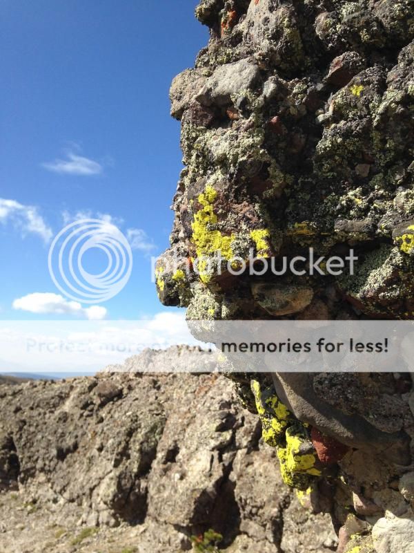
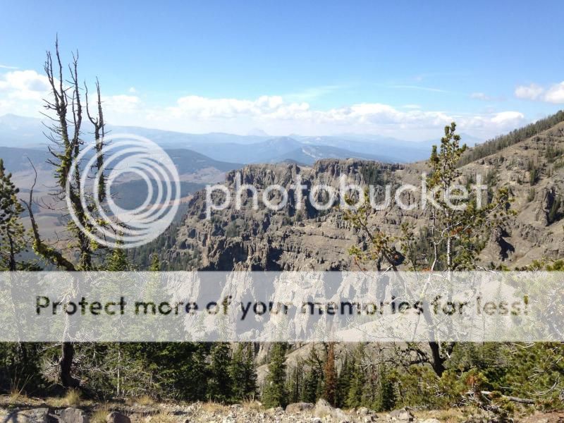
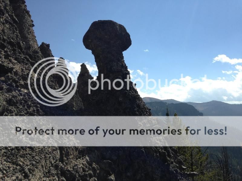
The mudslides carried giant boulders which kept the material underneath from eroding away, leaving hoodoos.
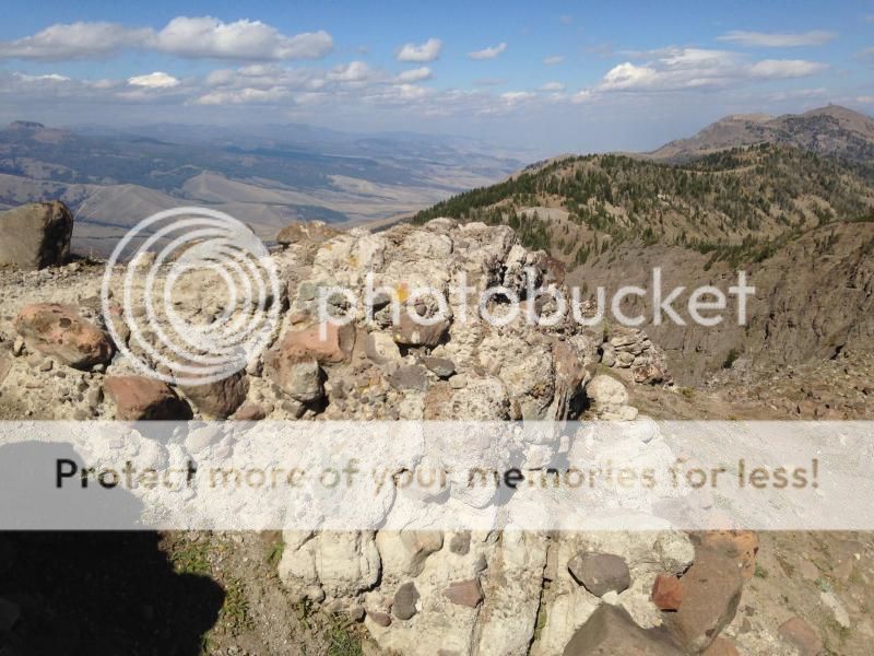
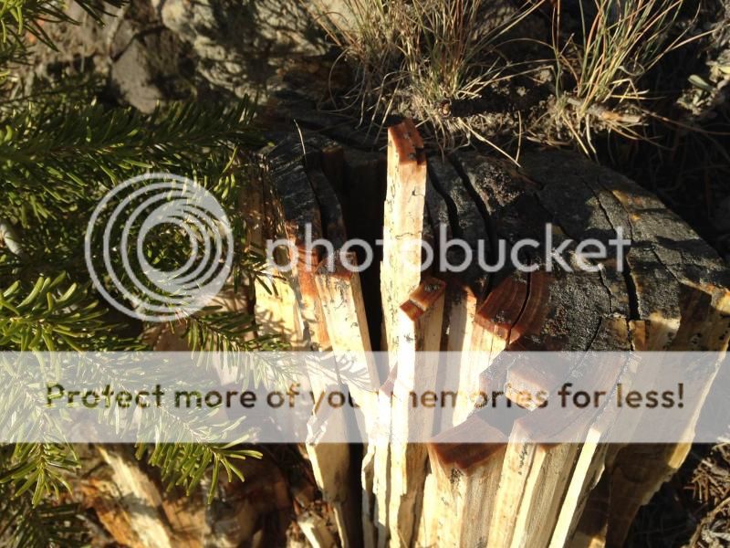
In some cases the petrification preserved great details. Imagine how many people looked and didn't touch so the pieces would still be intact for the next person. That is the nice thing about the backcountry – too far to carry this stuff back and rob the next generation of seeing it.
I finally got some free time this summer so Friday I did a day hike up the Sky Rim Trail to Big Horn Mountain. The Sky Rim Trail borders the NW corner of Yellowstone Park. The normal way to access is from the Park side along the Gallatin River, but I chose to come in from Tom Miner Basin.
The trail looks easy on a map but it wasn’t easy! It followed the ridgeline so it was up and down the whole way and the September sun was brutal even at 9600’. I had been hiking three hours when I turned around and took this photo. I started toward the bottom of the rocky ridge that angles off to the right.
Those familiar with the area might recognize Ramshorn Peak in the background and Specimen Ridge(Tom Miner basin) is the one that angles to the right going away.

Looking the the direction I was headed (South) I could finally see the rocky flanks of Big Horn Peak. Unfortunately, it was still about an hour away. But at least I could see it.

There was more downhill to be had before I would get there. An optimist would say it was downhill both ways.

But following the little spurs on the trail yielded interesting sights.

Trees buried 50 million years ago by tremendous mudslides coming from the flanks of volcanoes in what is now called the Gallatin Petrified Forest.

Another tree: look for the tall orangish stump in the center.

The mudslides carried giant boulders which kept the material underneath from eroding away, leaving hoodoos.

In some cases the petrification preserved great details. Imagine how many people looked and didn't touch so the pieces would still be intact for the next person. That is the nice thing about the backcountry – too far to carry this stuff back and rob the next generation of seeing it.

Last edited:


