tomengineer
Active member
- Joined
- Jan 14, 2019
- Messages
- 270
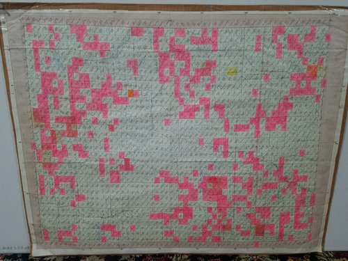
We all know onX is a pretty powerful tool for mapping routes and planning glassing spots and staying on public land etc. I'm just wondering if anyone finds paper maps to be helpful during planning, map scouting or in the field? I use the National Geographic trail maps here in the Adirondacks while hiking and they seem to be pretty good for planning purposes. They might show some more information than onX is able to. I'm also thinking they might be handy to have in the field to accompany my compass in case my navigation equipment fails. This is for the Sun Valley area of Idaho as well as the Sawtooth National Forest.


