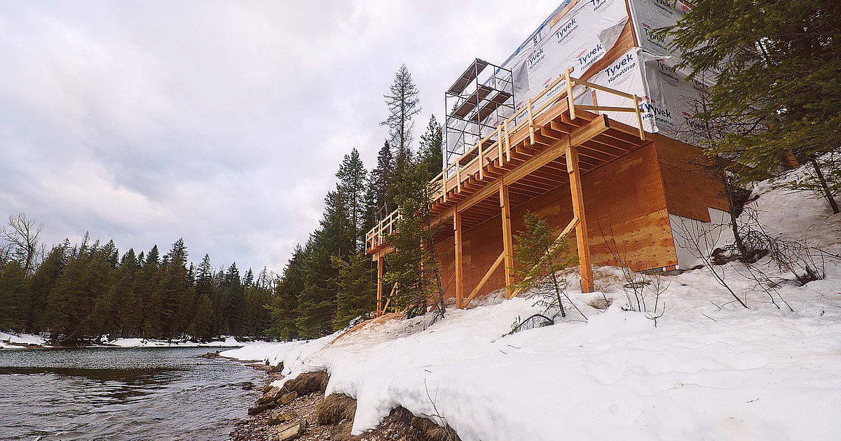
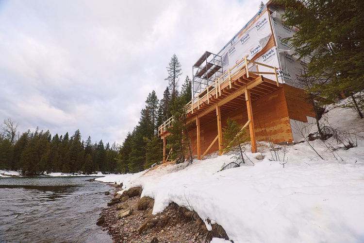
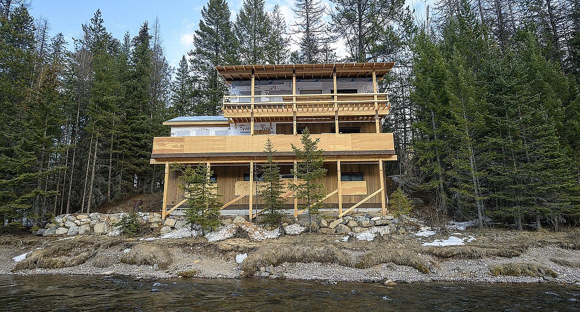
However, there is no Federal Emergency Management Agency floodplain designation in the area, because the floodplain was never mapped.
“We can’t regulate a floodplain if there’s no designated floodplain,” said Zachary Moon, a planner with the county Planning and Zoning Office.
He also noted there’s no county zoning on private lands in Glacier, so there’s no other restrictions outside of sewer and water.
But Apgar is serviced by Glacier National Park’s sewer and water system, which serves both private and federal buildings and residences in the area.
FEMA confirmed it has not mapped the floodplain. It doesn’t typically map floodplains on federal lands, agency officials said.
“FEMA generally has not mapped flood risk on federal lands, e.g. national parks. There is some floodplain mapping near the area in question along the Middle Fork Flathead River, but that is on a contiguous area of Flathead County that is outside of the park boundary,” wrote Jennifer E Warren, agency spokesperson, in an email. “Although there are some private land withholdings in the park that fall under Flathead County jurisdiction, which include the area in question, a study of McDonald Creek would be almost entirely within Glacier Park and so that is likely the reason why no flood study has been performed here to date.”